3D print Trondheim
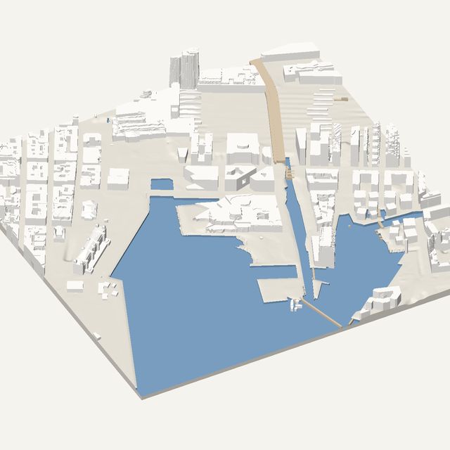
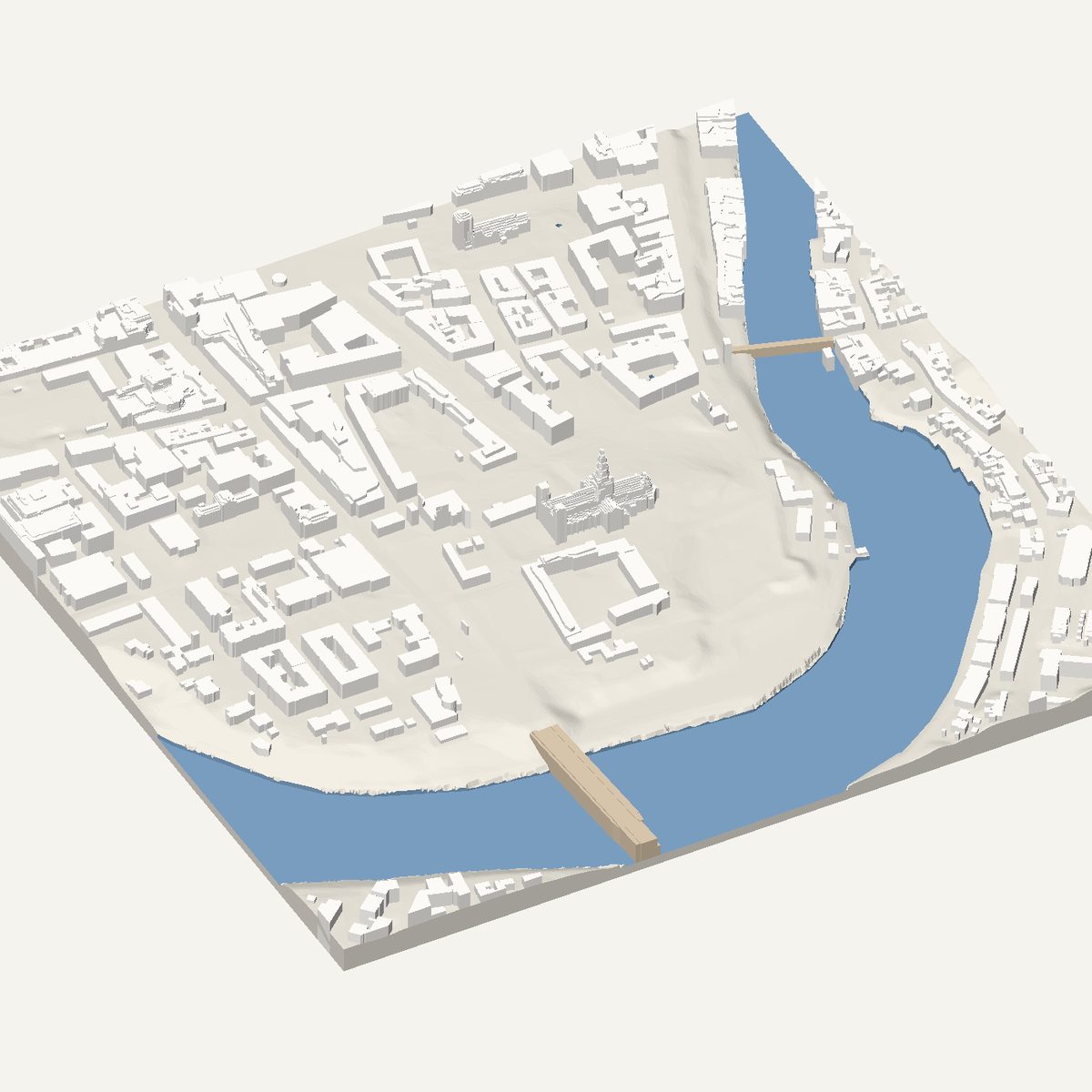
Trondheim's centre is a peninsula inside a tight river bend, with a great cathedral near the tip. Frame it for a solid STL built from heights measured in the Kartverket airborne laser survey.
Free · no account · STL in millimetres
- Heights
- Measured by laser survey
- Source
- Kartverket Høydedata (NHM)
- Frame
- 800 × 800 m
- At 180 mm
- 1 : 4,444 · 21.2 mm tall
- Buildings
- 485
A Trondheim model you can print
The Nidelva loops around the old centre of Trondheim, so the city sits almost on an island. That shape prints beautifully: water cut below the banks draws a clean outline, and the straight grid of the planned centre fills the inside. The city is mostly low and even, which keeps the model robust, and a handful of larger buildings add variety without making the print fragile.
The 800 m frame is centred on Nidaros Cathedral and the river bend. The cathedral is the largest building in the frame, with its long church body and its tower at the west end. East of it you will find the Old Town Bridge crossing the Nidelva to the Bakklandet district of small wooden houses, and the Archbishop's Palace beside the cathedral.
In this frame
- Nidaros Cathedral
- Gamle Bybro
- Archbishop's Palace
- Bakklandet
Printing Trondheim
- Switch water on. The river bend defines the shape of the old town on the print.
- Rotate the frame slightly so the river and the cathedral axis sit evenly in the print.
- Bakklandet houses are small. Print at 180 mm or larger so the wooden-house streets do not close up.
- Leave height exaggeration at 1x. The cathedral is the tallest mass here and already stands out.
Questions
Trondheim, in detail
- Is the Old Town Bridge in the Trondheim model?
- Yes, as a flat deck over the Nidelva. Bridges in the tool are modelled as simple decks at their measured height, without railings or the open frame of the timber structure. You will see its position and span, not its detail.
- Where do Trondheim heights come from?
- From Kartverket, the Norwegian mapping authority, which publishes airborne laser surveys. Roof and ground heights are measured. The tool turns courtyards and setbacks into straight-edged flat levels, so the print stays clean and printable.