3D print London
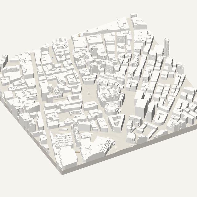
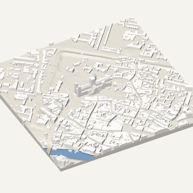
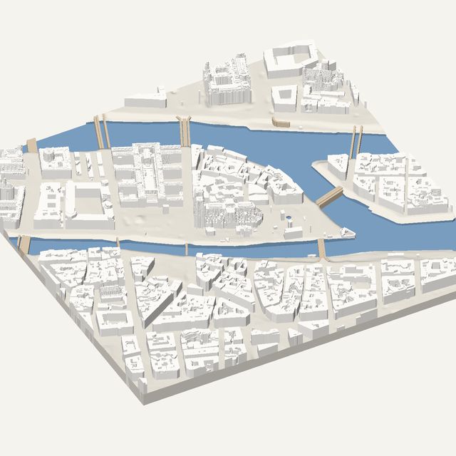
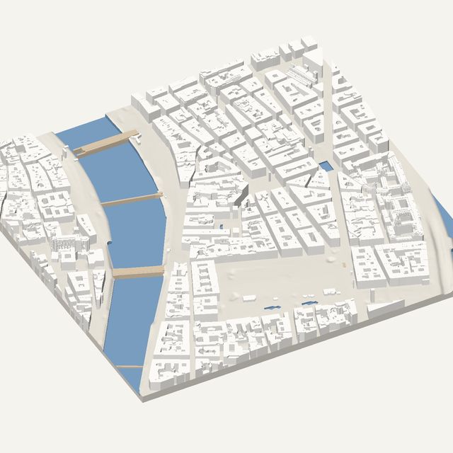
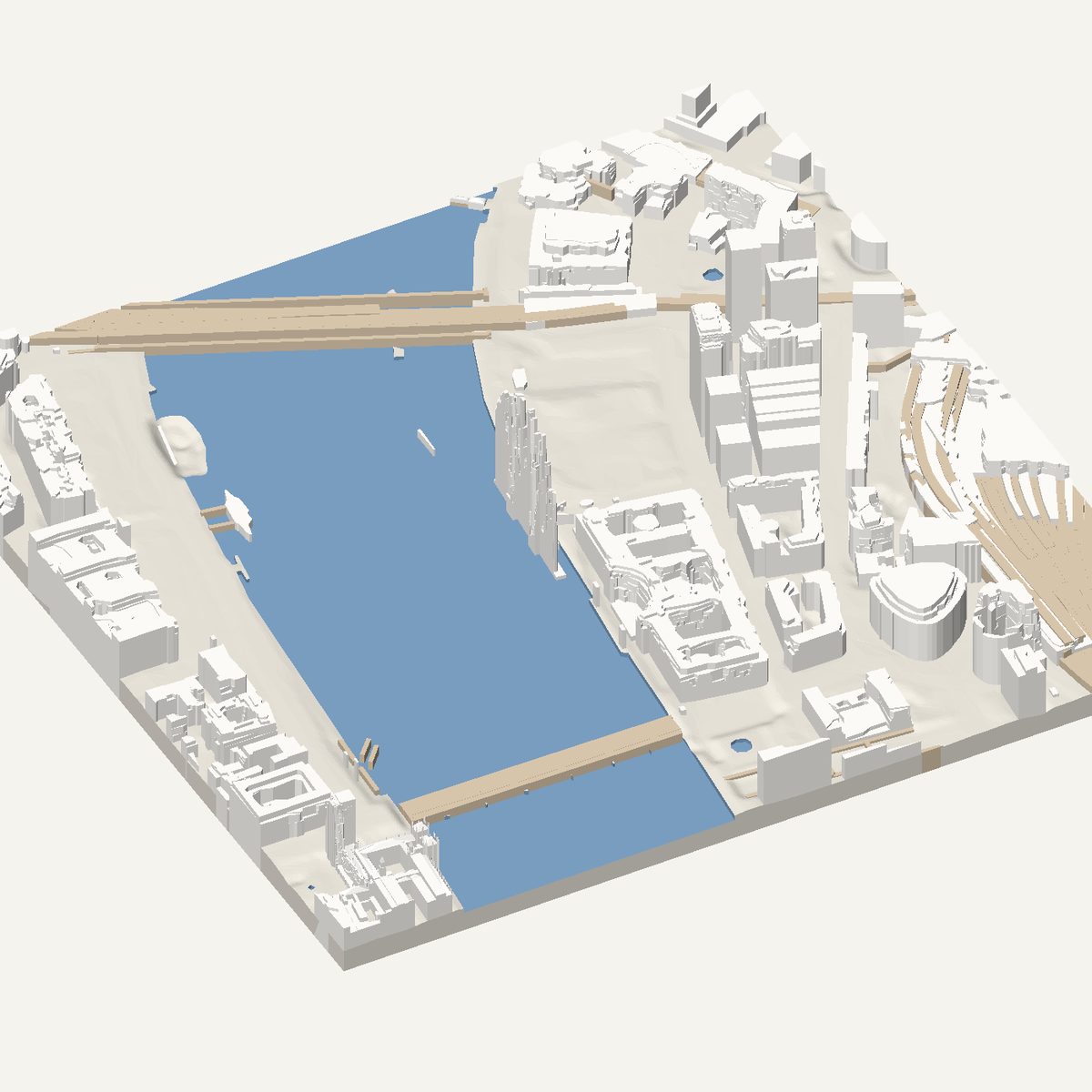
London's best-known stretch of river is also a good print. Frame the South Bank, Westminster Bridge and the Thames to get a solid STL with heights measured by Environment Agency LiDAR.
Free · no account · STL in millimetres
- Heights
- Measured by laser survey
- Source
- Environment Agency National LIDAR Programme
- Frame
- 800 × 800 m
- At 180 mm
- 1 : 4,444 · 34.6 mm tall
- Buildings
- 117
A London model you can print
London grew over centuries, so its centre mixes dense old blocks, planned set pieces and a few towers. For a printed model, the Thames is the organising feature. It cuts through the frame as a wide curve, bridges cross it as flat decks, and both banks show different building patterns. You get an irregular, organic street pattern that looks very different from a grid city and rewards a close look at the finished print.
The 800 m frame is centred on the South Bank near the London Eye. On the west bank you will find the Palace of Westminster and its Elizabeth Tower, and Westminster Bridge crosses to County Hall and the wheel on the east bank. St Thomas' Hospital sits just upstream. The Elizabeth Tower is slim and tall, so it is the most delicate part of the print.
In this frame
- London Eye
- Palace of Westminster
- Elizabeth Tower
- Westminster Bridge
- County Hall
Printing London
- Switch water on. The Thames is wide here, and cutting it below the banks makes the bridge decks stand out.
- Rotate the frame to follow the river so the Thames crosses the print on a clean diagonal.
- The Elizabeth Tower is thin. Print at 200 mm or larger and slow down near the top.
- Leave trees off in Westminster. The palace and bridge are the subject, and crown domes would crowd the riverside.
Questions
London, in detail
- Will the London Eye print as a wheel?
- No. The model is a height-style solid with no see-through details, so an open wheel cannot be shown. You will see the footprint and place of the structure on the bank, but not its spokes or rim. Use it as a landmark for orientation.
- Is the London data measured?
- Yes. England is covered by Environment Agency airborne laser surveys, and the tool reads roof and ground heights from them. Courtyards and setbacks are turned into straight-edged flat levels. Areas without survey data are labelled as estimated.