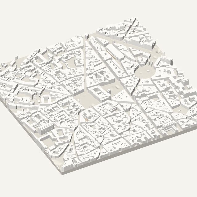
3D print Strasbourg
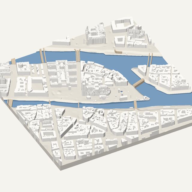
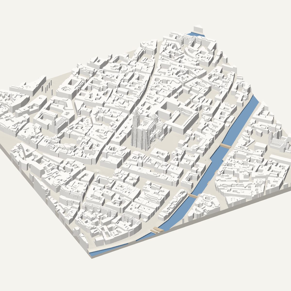
Strasbourg's old centre sits on an island ringed by the Ill. Frame the cathedral and Grande Île for a compact, recognisable STL with roof heights measured by IGN LiDAR HD.
Free · no account · STL in millimetres
- Heights
- Measured by laser survey
- Source
- IGN LiDAR HD
- Frame
- 700 × 700 m
- At 180 mm
- 1 : 3,889 · 36.2 mm tall
- Buildings
- 1,180
A Strasbourg model you can print
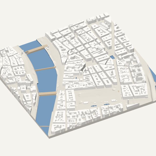
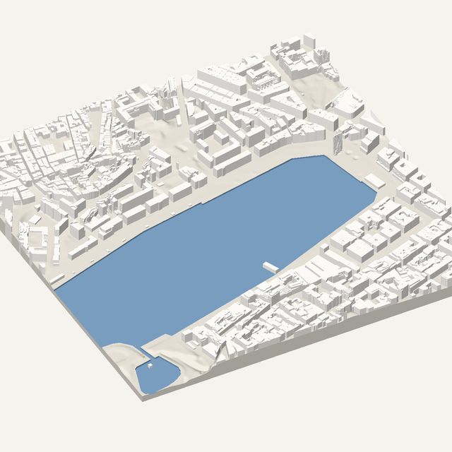
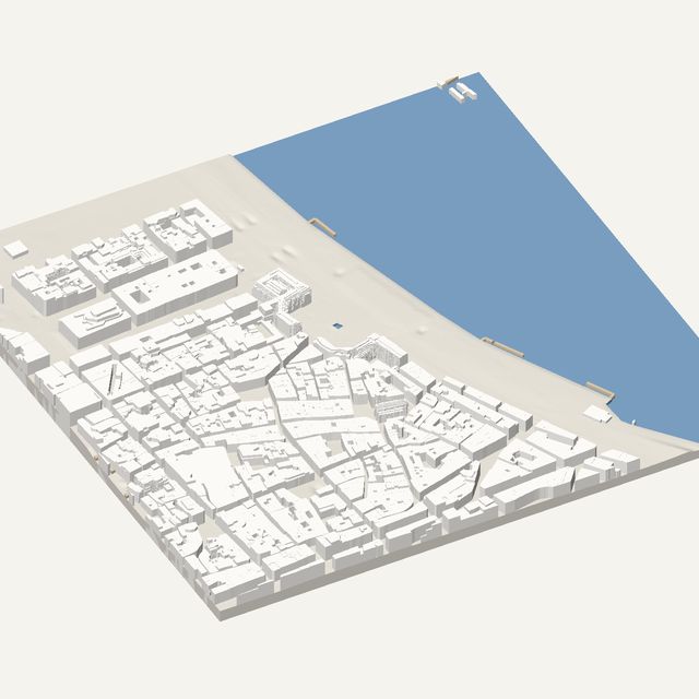
The Grande Île is a natural print subject because the river already draws its outline. The Ill wraps around the old centre, so water cut below the banks gives the model a clear border. Inside it, tightly packed medieval blocks surround open squares, and the whole island is small enough to print at a generous scale from a 700 m frame. Few cities give you such a self-contained shape.
The cathedral dominates the frame. Its single tall spire and wide red-stone mass are visible from every direction, and the model keeps that silhouette. Around it you will see the cathedral square, the squares Place Kléber and Place Gutenberg, and the Palais Rohan beside it. The covered bridges and Petite France lie to the west, just outside this frame. The spire is the most delicate part of the print.
In this frame
- Strasbourg Cathedral
- Place Kléber
- Place Gutenberg
- Palais Rohan
Printing Strasbourg
- At 700 m the scale is generous. Printing at 200 mm or more helps the cathedral spire survive.
- Switch water on so the Ill is cut around the island. That gives the model its outline.
- Print slowly and with a cooling fan for the spire tip. Thin vertical points need time to cool between layers.
- Keep trees off in the old centre. Streets are narrow, and crown domes would crowd the lanes.
Questions
Strasbourg, in detail
- Will the cathedral spire print well?
- It can, with care. The spire is a thin solid point, and the tool samples tall buildings in extra fine detail so the silhouette is kept. It is still the most delicate feature, so print larger, slow down near the top and use a cooling fan.
- Is Strasbourg data measured?
- Yes. Strasbourg is covered by IGN LiDAR HD, the French airborne laser survey. Roof heights and ground levels are measured, then simplified into flat, straight-edged levels. The tool shows a label if any part of a frame uses estimates instead.