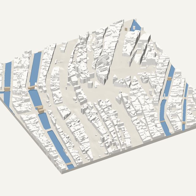
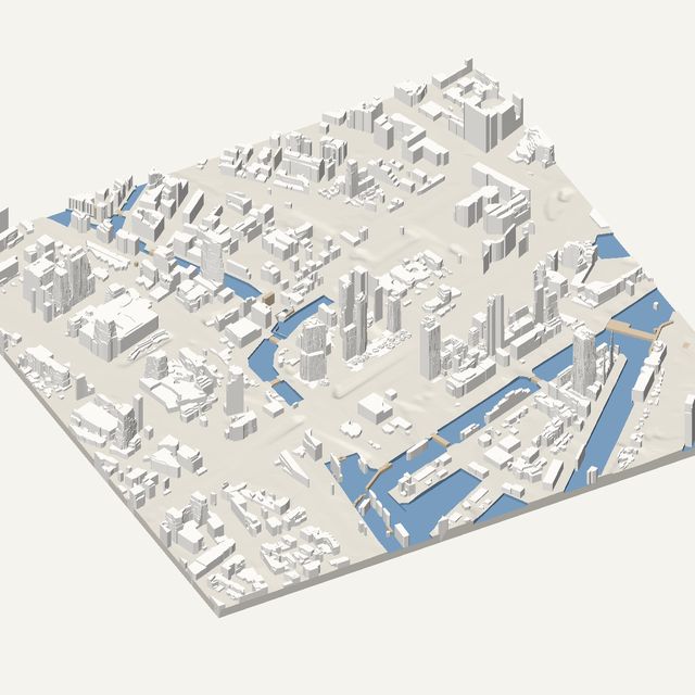
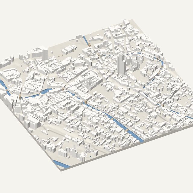
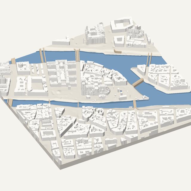
3D print The Hague
The Hague keeps its seat of government on a pond in the middle of town. Frame the Binnenhof and Hofvijver for a compact STL with heights measured in the Dutch AHN airborne survey.
Free · no account · STL in millimetres
- Heights
- Measured by laser survey
- Source
- Actueel Hoogtebestand Nederland (AHN)
- Frame
- 700 × 700 m
- At 180 mm
- 1 : 3,889 · 15.5 mm tall
- Buildings
- 743
A The Hague model you can print
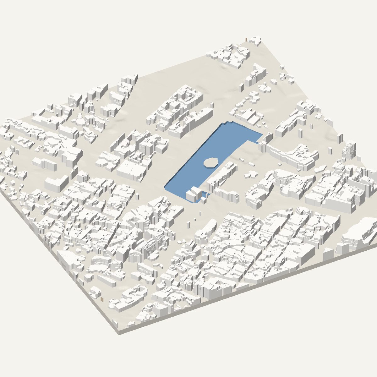
The centre of The Hague is smaller and calmer than other Dutch cities, and a printed model shows a particular balance: a cluster of historic government buildings, a pond that reads as a flat rectangle of water, and a grid of modern blocks around it. The mix of old courtyard buildings and newer offices gives the model more variety than a typical canal town. It is flat, so water shapes are easy to see.
The 700 m frame is centred on the Binnenhof and the Hofvijver. The Binnenhof is a ring of buildings around an inner courtyard, with the Ridderzaal at its centre. The Hofvijver lies along its east side, and the Mauritshuis stands at the pond's edge. Just to the west is the Plein square, and the streets of the old centre spread out in every direction around the pond.
In this frame
- Binnenhof
- Ridderzaal
- Hofvijver
- Mauritshuis
- Plein
Printing The Hague
- Switch water on so the Hofvijver is cut below its banks. It is the clearest shape in the frame.
- The Binnenhof courtyard is small. Print at 180 mm or larger so it stays open.
- Try height exaggeration of 1.5x. The Hague is flat, and a small boost brings out church roofs and towers.
- Add parks to show the gardens and squares around the pond as slightly raised plates.
Questions
The Hague, in detail
- Does the Binnenhof courtyard print as open space?
- Yes, as long as it is large enough at your print scale. The tool traces courtyards from the mapped outline and survey, so the inner court is a lower level surrounded by walls. At 180 mm it is a small recess, so check it before slicing.
- Where does the data for The Hague come from?
- Roof and ground heights come from AHN, the Dutch national airborne laser survey. They are measured, not estimated. Building outlines come from OpenStreetMap and Overture Maps, and courtyards and setbacks are turned into flat, straight-edged levels.