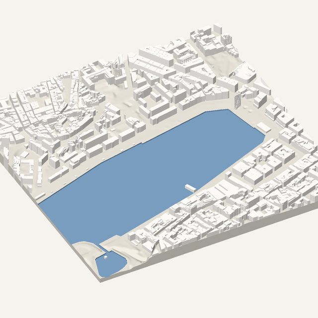
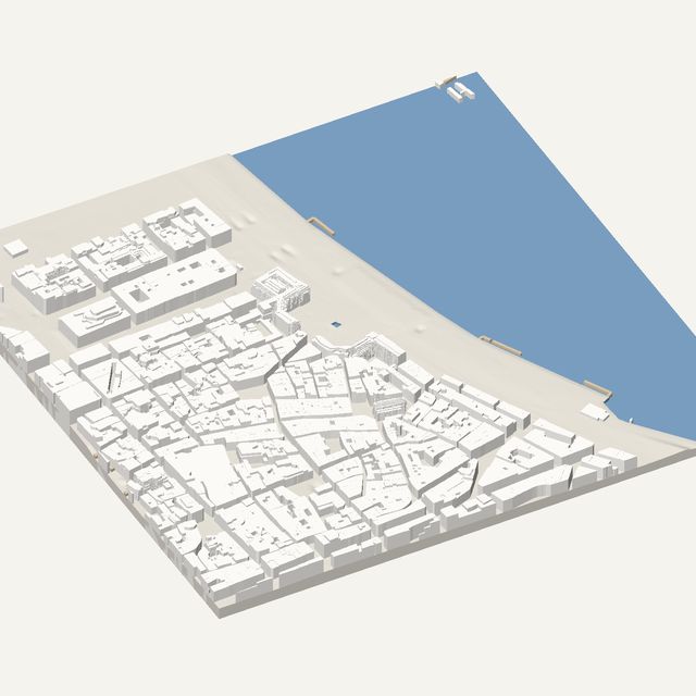
3D print Düsseldorf
Düsseldorf's old town sits tight against the Rhine promenade. Frame the Altstadt and the river bank to download an STL with roof heights measured in the Geobasis NRW laser survey.
Free · no account · STL in millimetres
- Heights
- Measured by laser survey
- Source
- Geobasis NRW DOM1 / DGM1
- Frame
- 800 × 800 m
- At 180 mm
- 1 : 4,444 · 15.1 mm tall
- Buildings
- 1,250
A Düsseldorf model you can print
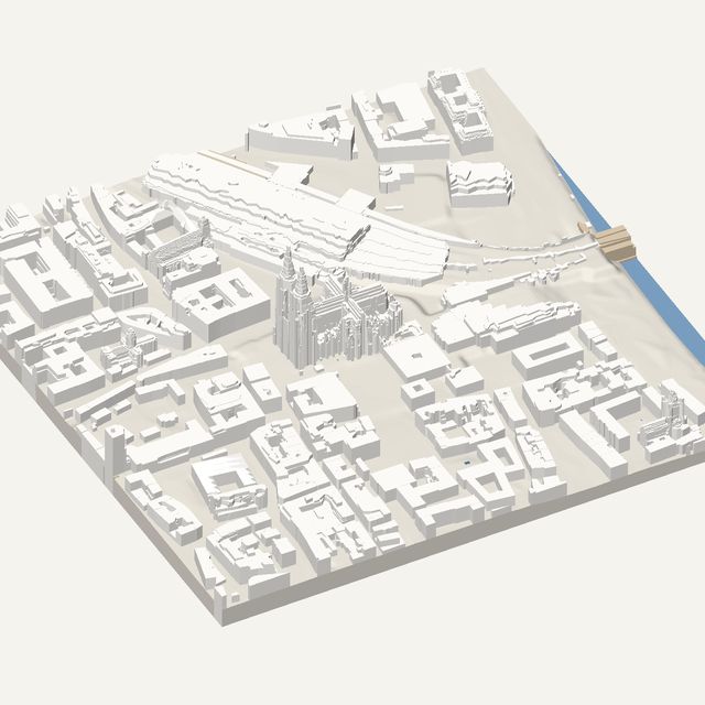
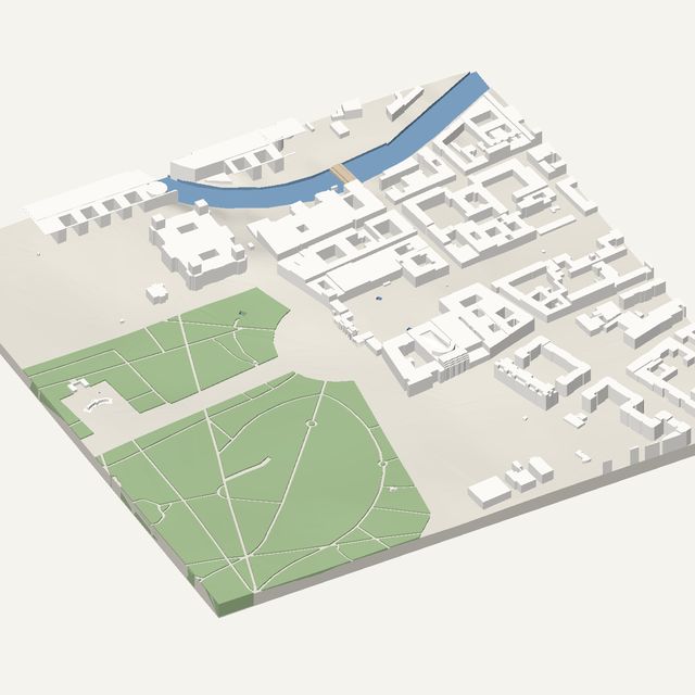
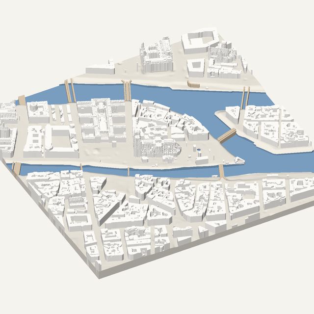
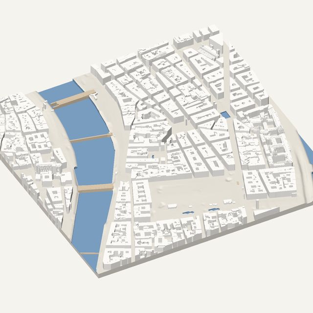
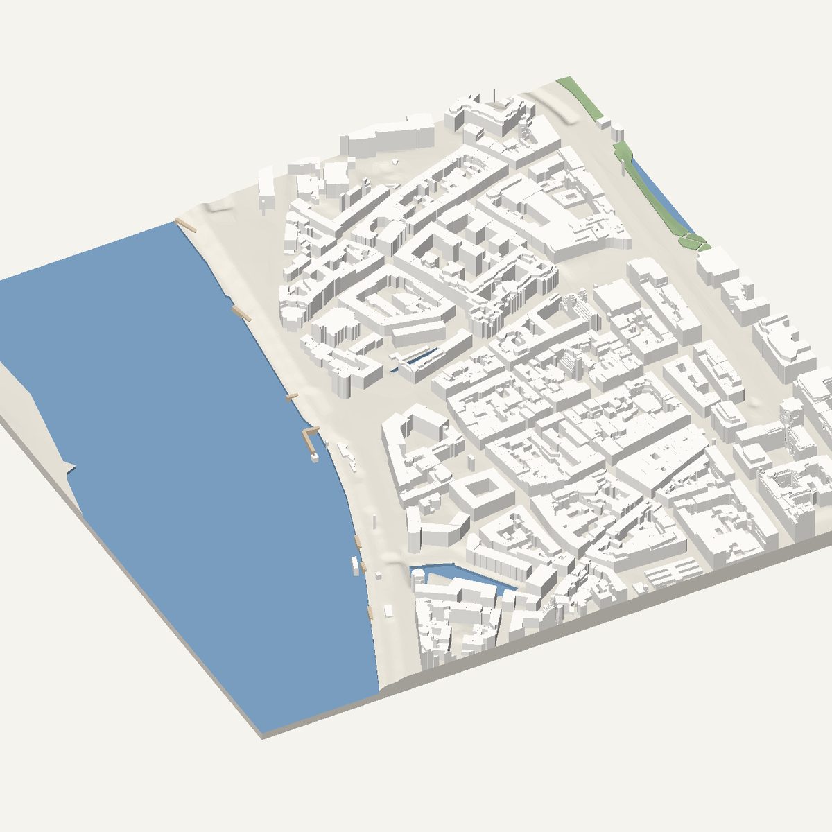
The Altstadt is compact and dense, a small field of narrow streets beside a wide river. On a printed model this contrast is the point: a lively pattern of small blocks on one side, a flat band of water on the other, and the promenade as a clean line between them. The area is small enough that a modest frame holds all of it, and the finished print has a clear, tidy shape.
The 800 m frame is centred on the Altstadt and the Rhine promenade. Near the river you will find the Schlossturm, the remaining tower of the old castle, and the church of St Lambertus beside it, known for its twisted spire. The open Burgplatz lies between them and the water. Modern blocks surround the old town to the east, and the Rhine runs along the west edge.
In this frame
- St. Lambertus
- Schlossturm
- Burgplatz
- Rheinuferpromenade
Printing Düsseldorf
- Switch water on. The Rhine is wide, and the cut river makes the promenade easy to read.
- St Lambertus has a thin spire. Print at 200 mm or larger and slow down toward the top.
- Rotate the frame so the river bank runs straight along one edge of the print.
- Parks on adds the riverside green strips, which show as slightly raised plates along the promenade.
Questions
Düsseldorf, in detail
- Does the Düsseldorf Altstadt print in detail?
- Reasonably. The old town has small blocks and narrow lanes, which are readable at 800 m and 180 mm but start to close up at smaller print sizes. A larger print, or a smaller frame, keeps the lanes open. Facade detail is not included.
- Is the data measured or estimated?
- Measured. Düsseldorf lies in North Rhine-Westphalia, which is covered by Geobasis NRW airborne laser surveys. Roof and ground heights come from them, and courtyards and setbacks are simplified into flat, straight-edged levels.