3D print Bruges
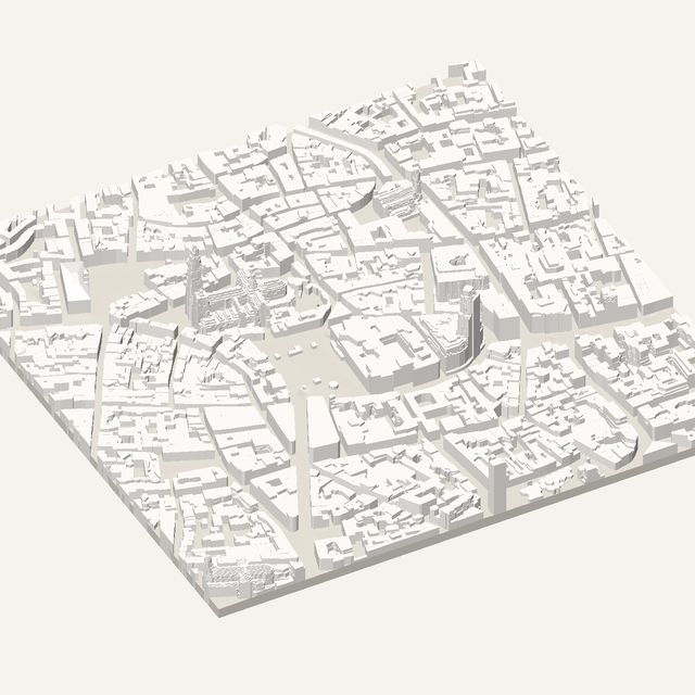
Bruges is a small medieval town of canals and brick, with a tall belfry on its main square. Frame the Belfry and the Markt for an STL with heights measured in the Digitaal Vlaanderen survey.
Free · no account · STL in millimetres
- Heights
- Measured by laser survey
- Source
- Digitaal Hoogtemodel Vlaanderen II
- Frame
- 700 × 700 m
- At 180 mm
- 1 : 3,889 · 24 mm tall
- Buildings
- 1,856
A Bruges model you can print
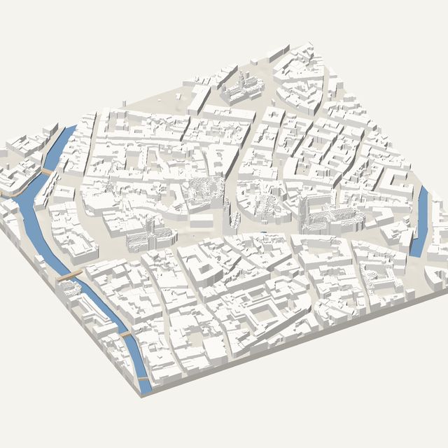
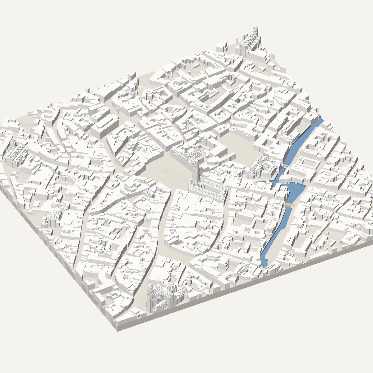
Bruges was preserved rather than rebuilt, so its centre looks much as it did centuries ago: narrow brick houses, a ring of canals and a handful of tall church towers. A printed model catches this unusual unity. Nearly every block is low and old, canals curve between them, and the shapes are small enough that a 700 m frame holds the heart of the city. It makes a very pleasing small print.
The frame is centred on the Belfry and the Markt. The Belfry is a tall brick tower on the market square, and the Markt is lined with gabled houses. A short walk east is the Burg square and the Basilica of the Holy Blood, and the first canals run along the edges of the frame. The Belfry is the one tall shape, so it is the delicate point of the print.
In this frame
- Belfry of Bruges
- Markt
- Burg
- Basilica of the Holy Blood
Printing Bruges
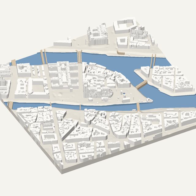
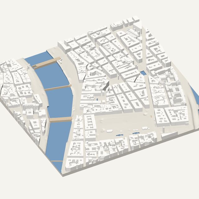
- Switch water on. The canals curve through the centre, and cutting them below the banks adds depth.
- Print at 200 mm or larger so that the Belfry keeps its strength and the lanes stay open.
- Keep height exaggeration at 1x. The tower already stands out against the low roofs.
- Parks on adds the gardens and green spaces along the canals as slightly raised plates.
Questions
Bruges, in detail
- Are the Bruges canals included?
- Yes. Water is cut below the banks using mapped outlines, so canals appear as channels between the houses. Bruges has narrow canals, so a larger print or a smaller frame keeps them open. Bridges are modelled as flat decks.
- Where does the Bruges data come from?
- From Digitaal Vlaanderen, whose airborne laser survey covers Flanders. Roof and ground heights are measured, not estimated. Building outlines come from OpenStreetMap and Overture Maps, and courtyards and setbacks become flat levels.