3D print Ghent
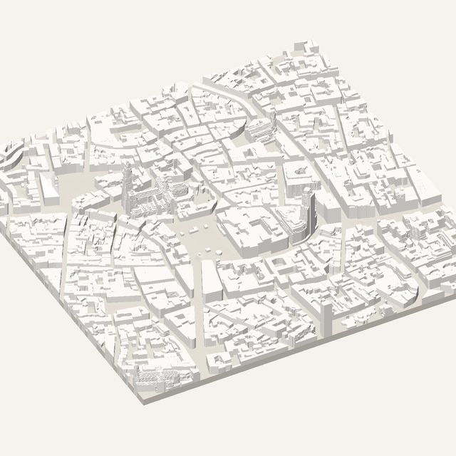
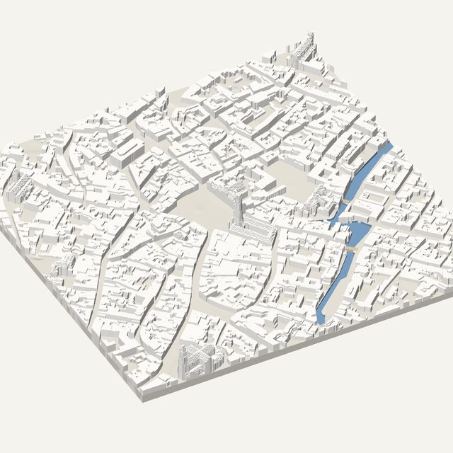
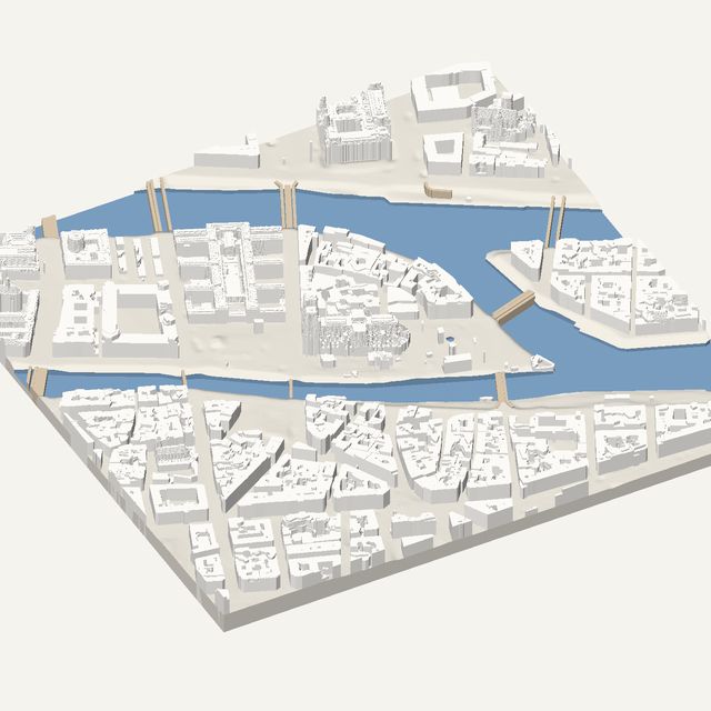
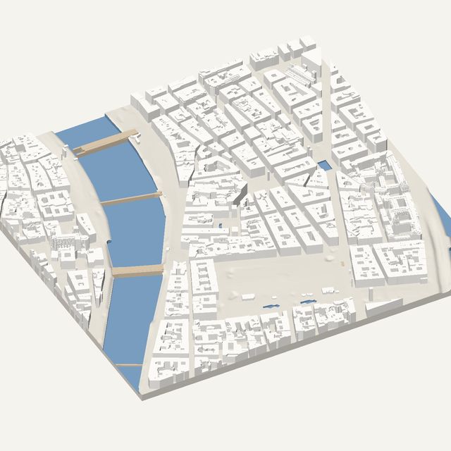
Ghent's skyline is three medieval towers in a row, with the Graslei quay beside them. Frame them to download an STL with roof heights measured in the Digitaal Vlaanderen laser survey.
Free · no account · STL in millimetres
- Heights
- Measured by laser survey
- Source
- Digitaal Hoogtemodel Vlaanderen II
- Frame
- 700 × 700 m
- At 180 mm
- 1 : 3,889 · 25.3 mm tall
- Buildings
- 1,361
A Ghent model you can print
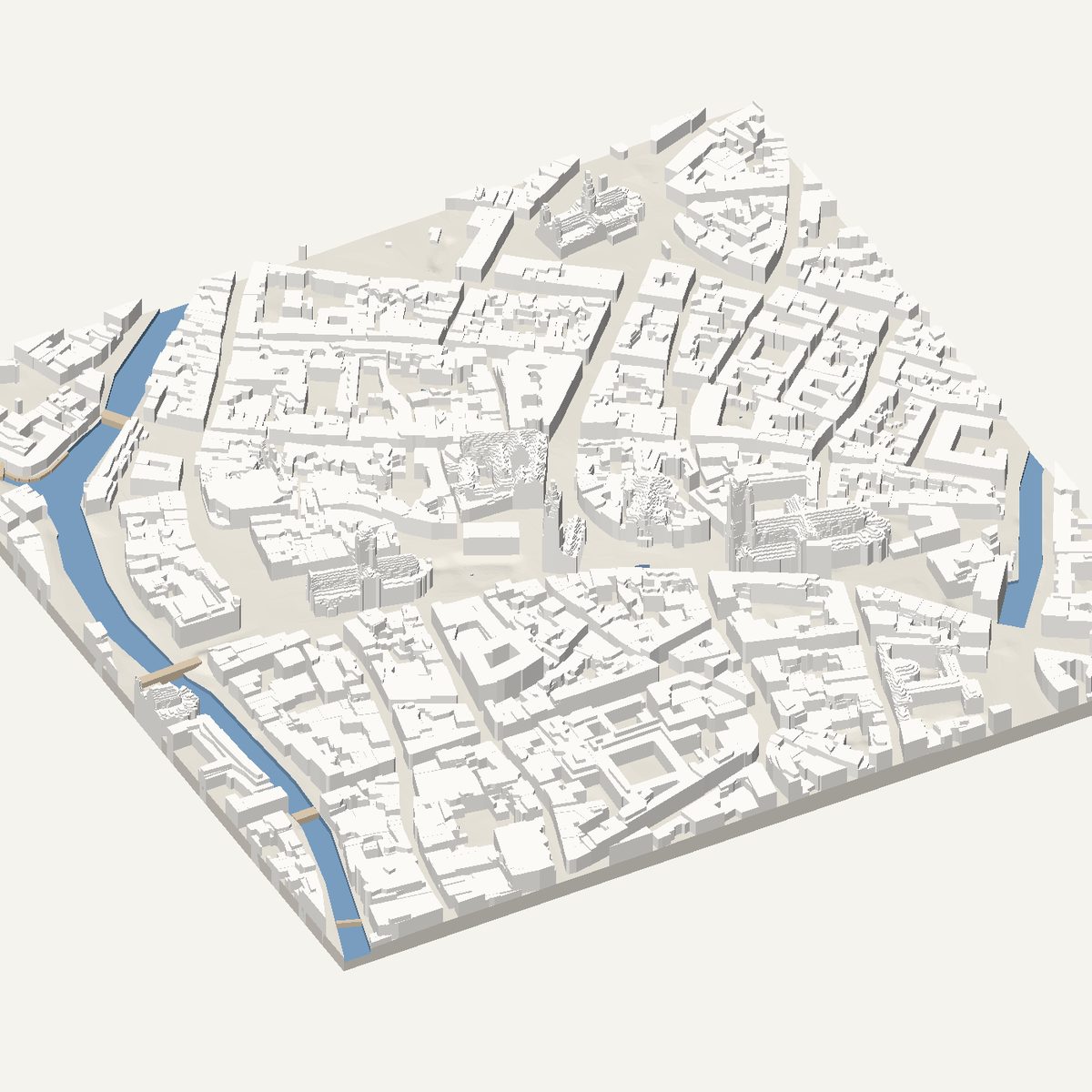
Ghent has a compact medieval centre where canals and quays run between tall, narrow houses. The famous view is a line of three towers: the cathedral, the belfry and the church of St Nicholas. On a printed model that line stands clear of the lower houses, and the Leie river, cut below its banks, runs next to it. The shapes are bold enough to read even at a small size.
The 700 m frame is centred on the three towers and the Graslei. Graslei is the row of guild houses facing the river, with the Korenlei opposite. St Bavo's Cathedral, the Belfry and St Nicholas' Church line up along the old centre, and the Gravensteen castle lies a few streets to the north. Expect the three towers to be the finest parts of the print.
In this frame
- St Bavo's Cathedral
- Belfry of Ghent
- St Nicholas' Church
- Graslei
- Gravensteen
Printing Ghent
- Switch water on. The Leie and its quays give the model a clear spine beside the three towers.
- Print at 200 mm or larger so the three towers keep a sturdy cross-section.
- Rotate the frame to follow the river so the Graslei runs along one side.
- Raise height exaggeration to 1.5x only if you want the skyline to read from a distance.
Questions
Ghent, in detail
- Do all three Ghent towers print well?
- They print as solid towers with the right height ratios, though they are slim and need care. Print larger than 180 mm if you can, slow down near the top and use a cooling fan. Spires and pinnacles are simplified, since the model has no fine detail.
- Is Ghent measured or estimated?
- Measured. Ghent is in Flanders, which is covered by Digitaal Vlaanderen's airborne laser survey, and the tool takes roof and ground heights from it. Courtyards and setbacks are traced into flat, straight-edged levels.