3D print New York
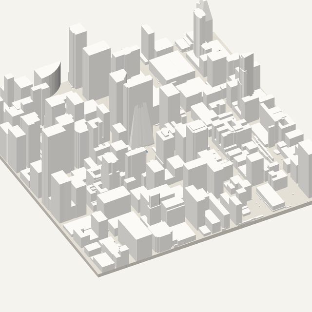
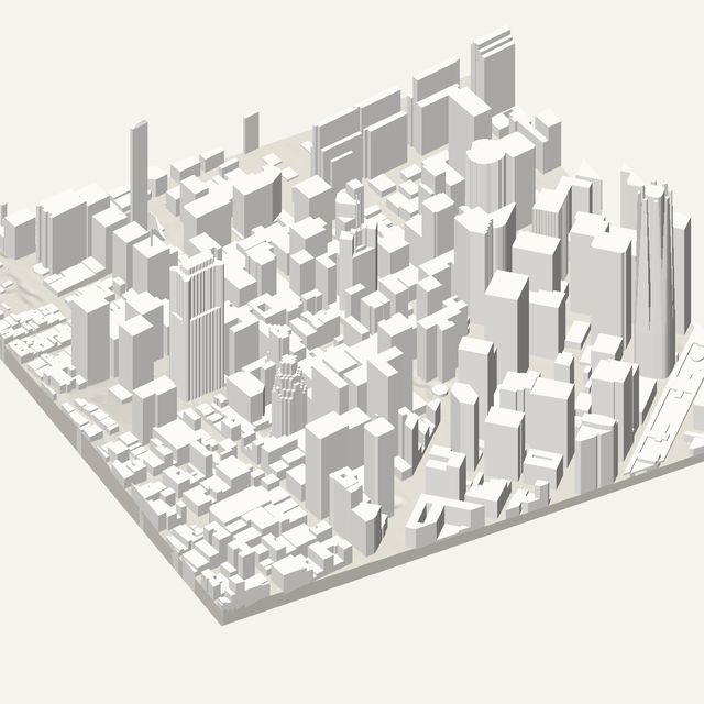
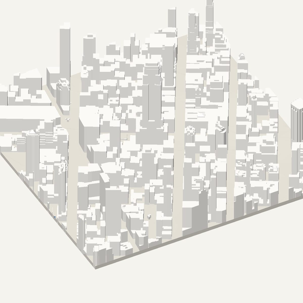
Midtown Manhattan is a rotated grid of towers, and the Empire State Building sits in the middle of it. Frame it for a solid STL. Heights here are estimated from OpenStreetMap tags, not measured.
Free · no account · STL in millimetres
- Heights
- Estimated from map data
- Source
- OpenStreetMap
- Frame
- 800 × 800 m
- At 180 mm
- 1 : 4,444 · 77.6 mm tall
- Buildings
- 664
A New York model you can print
Manhattan is the textbook tall-city print. The street grid is regular, the avenues run in long straight lines and the towers rise from a dense base. Because the island's grid is turned relative to north, a rotated frame makes the streets run along the print edges. Heights are estimated from OpenStreetMap tags for building height and floors, so some towers will be close and others approximate.
The 800 m frame is centred on the Empire State Building. Around it, Fifth Avenue and Herald Square give you a grid of mid-block towers and the wide diagonal of Broadway. Some landmarks use volunteer-made 3D models from OpenStreetMap, so the tallest shapes can be better than the plain extruded blocks. Slim towers are fragile, so print larger than the default.
In this frame
- Empire State Building
- Herald Square
- Fifth Avenue
- Broadway
Printing New York
- Rotate the frame to match the grid so the streets run along the print edges and the grid looks tidy.
- Print at 200 mm or larger. Slim towers are the weak points, and extra size gives them a thicker core.
- Leave height exaggeration at 1x. The estimated tower heights already create a strong skyline.
- Check the tallest buildings in the preview. Estimated heights can be off, and you can compare them with what you know.
Questions
New York, in detail
- Are the New York heights measured?
- No. The tool has no national laser-survey source for New York, so heights are estimated from OpenStreetMap tags for building height and number of floors. It labels the model as estimated. Where a landmark has a volunteer-made 3D model, that may be used instead.
- Why should I rotate the New York frame?
- Manhattan's street grid is turned relative to true north. Rotating the frame to match makes the avenues and cross streets run parallel to the print edges, which looks cleaner and wastes less of the frame on empty corners.