3D print Bergen
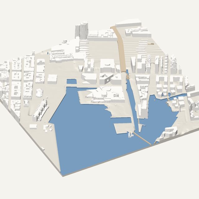
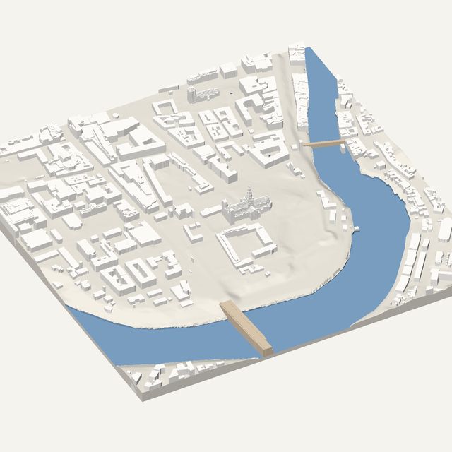
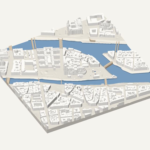
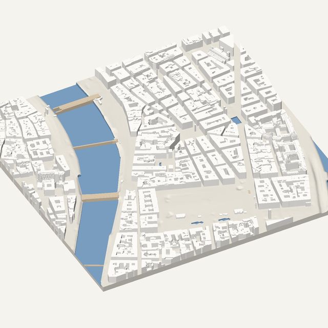
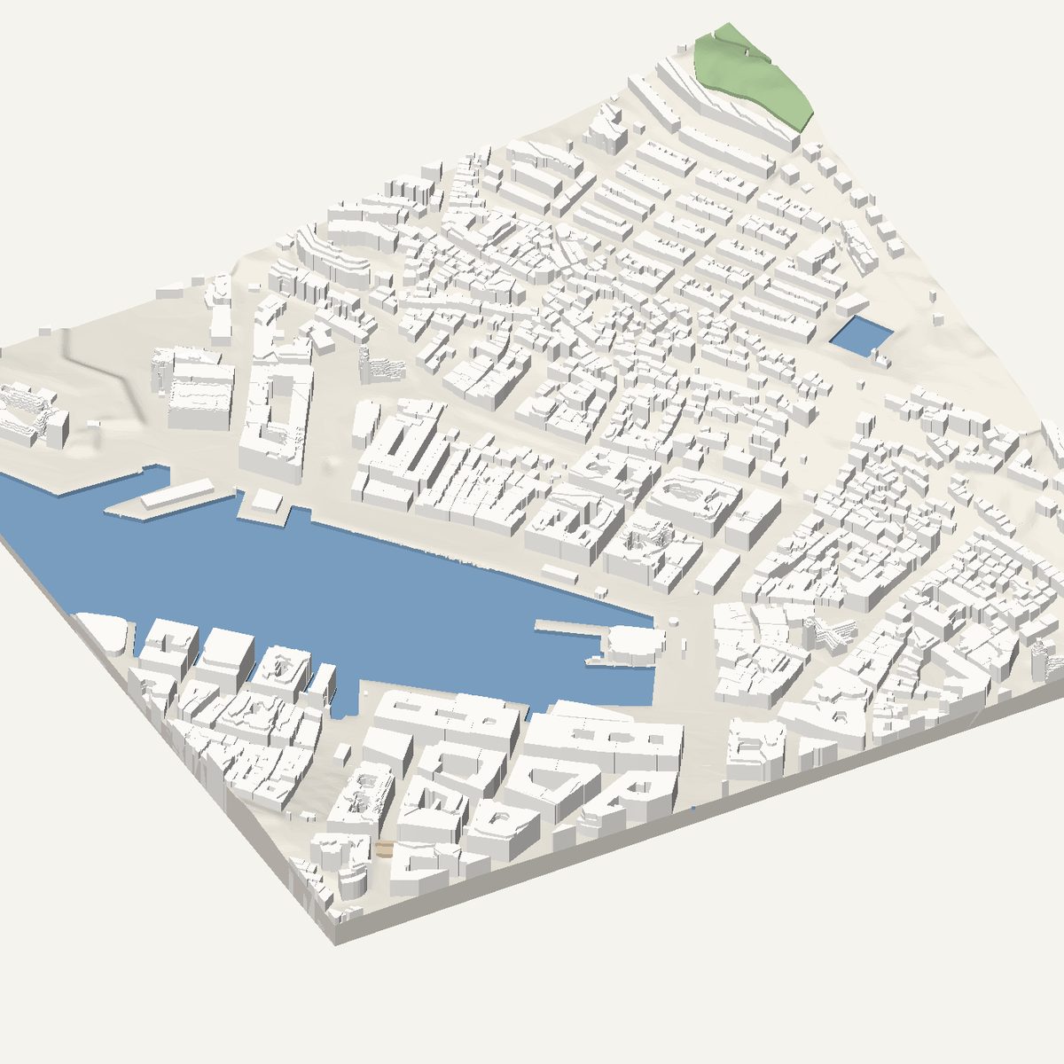
Bergen sits between a sheltered harbour and steep green hills. Frame Bryggen and the quay to get a solid STL built from heights measured in the Kartverket airborne laser survey.
Free · no account · STL in millimetres
- Heights
- Measured by laser survey
- Source
- Kartverket Høydedata (NHM)
- Frame
- 800 × 800 m
- At 180 mm
- 1 : 4,444 · 28 mm tall
- Buildings
- 1,348
A Bergen model you can print
Bergen is a city of slopes. Houses climb the hillsides behind the harbour, and the old wharf front runs along the water in a tight row. A print captures this well when terrain is on: the flat harbour sits at the bottom, the roofs of the old town step up behind it, and the hills close the view at the back. It is a compact, dramatic shape for a small model.
The 800 m frame is centred on Bryggen and the harbour. The Bryggen wharf is a row of narrow gabled buildings facing the water, and on a print they appear as a tight comb of small blocks. Nearby you will find the Håkonshallen and Rosenkrantz Tower complex, the fish market at the head of Vågen, and St Mary's Church on the hill behind Bryggen.
In this frame
- Bryggen
- Håkonshallen
- Rosenkrantz Tower
- Fisketorget
- St Mary's Church
Printing Bergen
- Keep terrain on. The slopes behind the harbour are half the character of the city.
- Bryggen's gables are small. Print at 200 mm or more, and expect them to merge into a ridged strip.
- Switch water on to cut Vågen harbour as a clean basin in front of the wharf.
- Try height exaggeration of 1.5x if the hills look too flat, but check that steep slopes still print without supports.
Questions
Bergen, in detail
- Do the Bryggen gables print as separate buildings?
- They print as a row of narrow blocks, but the model is a solid at a small scale, so the individual gables merge into a ridged strip. At 200 mm or larger you can see the rhythm of the wharf front, though not the carved timber detail.
- Is the Bergen data measured?
- Yes. Norway is covered by Kartverket's airborne laser surveys, and the tool takes ground and roof heights from them. Courtyards and setbacks are simplified into flat levels. Parts without survey data are labelled as estimated in the tool.