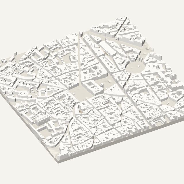
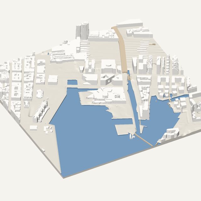
3D print Bordeaux
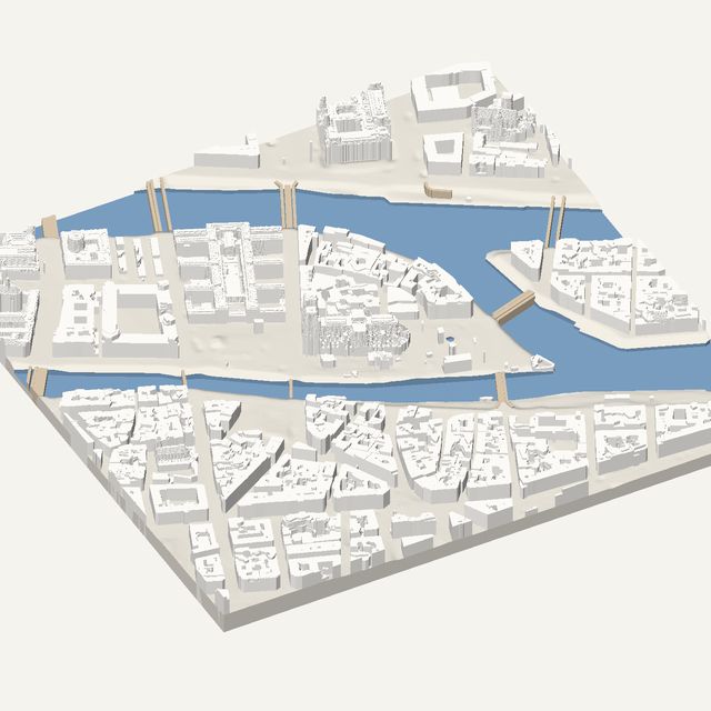
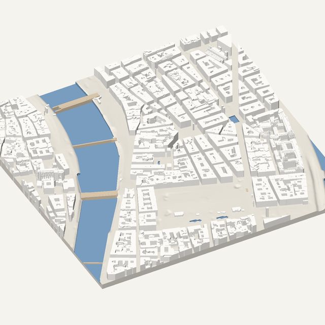
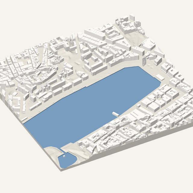
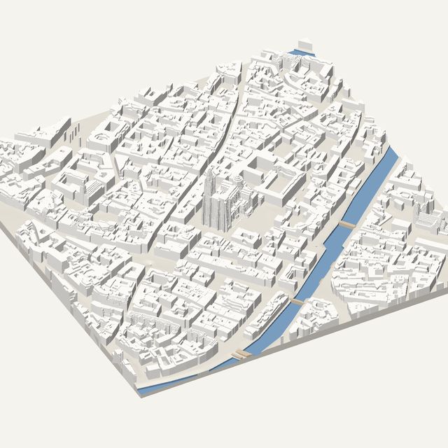
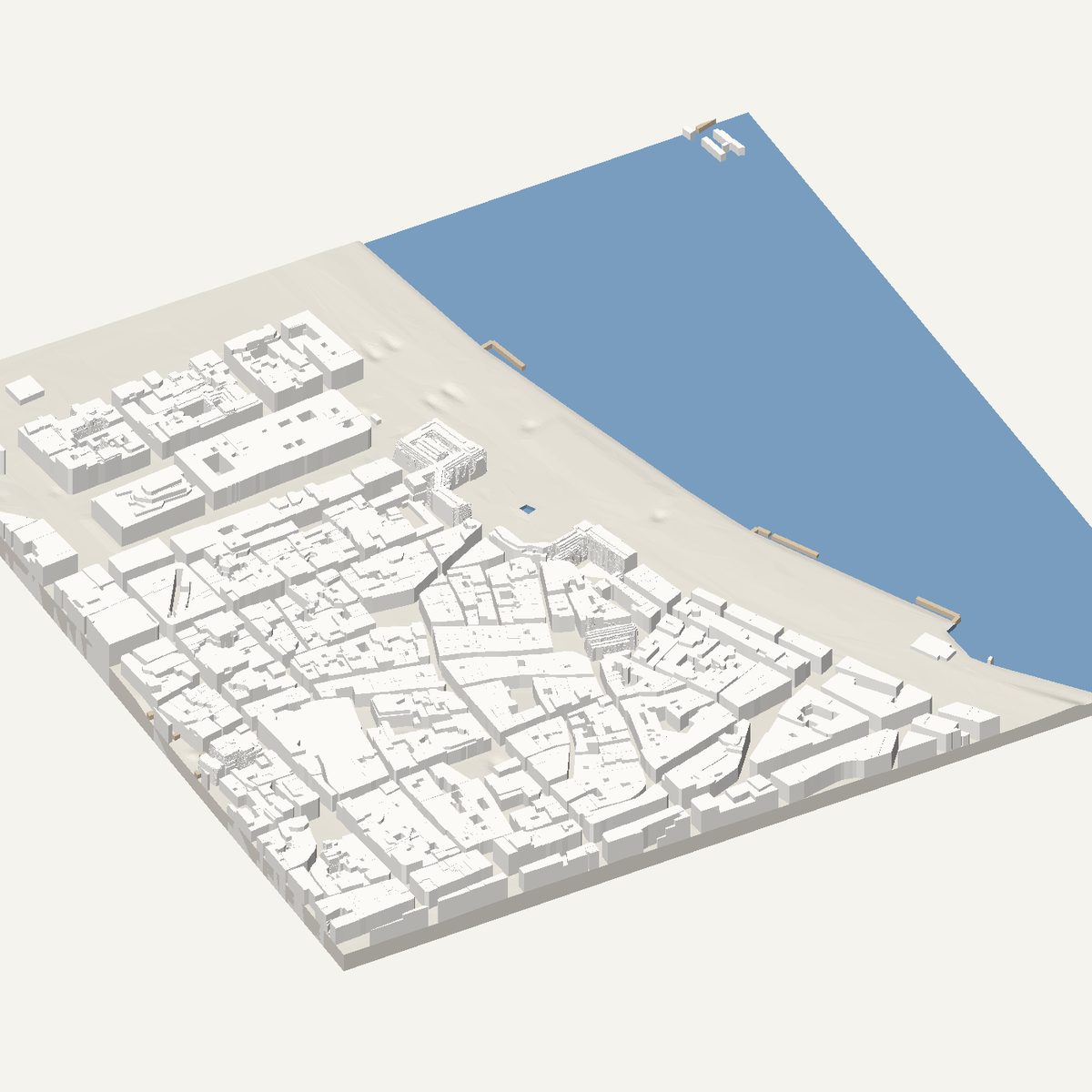
Bordeaux is a flat stone city wrapped around a wide curve of the Garonne. Frame Place de la Bourse and the quays to get a solid STL built on measured IGN LiDAR HD heights.
Free · no account · STL in millimetres
- Heights
- Measured by laser survey
- Source
- IGN LiDAR HD
- Frame
- 800 × 800 m
- At 180 mm
- 1 : 4,444 · 11.5 mm tall
- Buildings
- 1,373
A Bordeaux model you can print
Bordeaux has an even, low skyline of pale stone buildings, and almost no hills. The river does the work: the Garonne bends in a broad crescent along the old centre, and the quays follow it. On a print this gives you a clean curved edge and a calm grid of blocks behind it. Because the city is so flat, small differences in roof level stand out well.
The 800 m frame is centred on Place de la Bourse and the quays. You will find the Bourse square with its water mirror in front, Porte Cailhau, the old city gate, further along the quays, and the Place du Parlement just behind them. The Pont de Pierre lies just outside the frame to the south-east. Narrow medieval lanes behind the quays show how the old city differs from the planned squares.
In this frame
- Place de la Bourse
- Miroir d'eau
- Porte Cailhau
- Place du Parlement
Printing Bordeaux
- Try height exaggeration of 1.5x. The city is flat, so a small boost makes towers and church spires more visible.
- Rotate the frame to follow the river curve. The quays then run along the print edge instead of cutting across it.
- Keep water on. The Garonne is wide, and a cut channel gives the print a strong, simple shape.
- Print at 180 mm or larger if you want the narrow streets behind the quays to stay open.
Questions
Bordeaux, in detail
- Why does my Bordeaux print look so flat?
- Because Bordeaux itself is flat. The old centre sits only slightly above the river, so there is little relief to show. Raise height exaggeration to 1.5 or 2 times, and use water so the Garonne is cut below its banks. That adds depth without changing the footprint.
- Are the heights real or estimated?
- Real. Bordeaux is in France, where the tool uses IGN LiDAR HD survey data for roof and ground heights. Estimates only appear where survey data is missing, and the tool labels them. Courtyards and setbacks are simplified into flat levels.