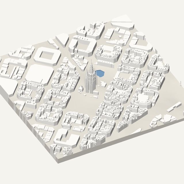
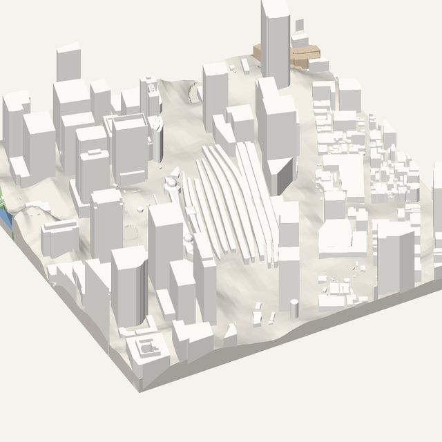
3D print a city
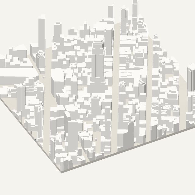
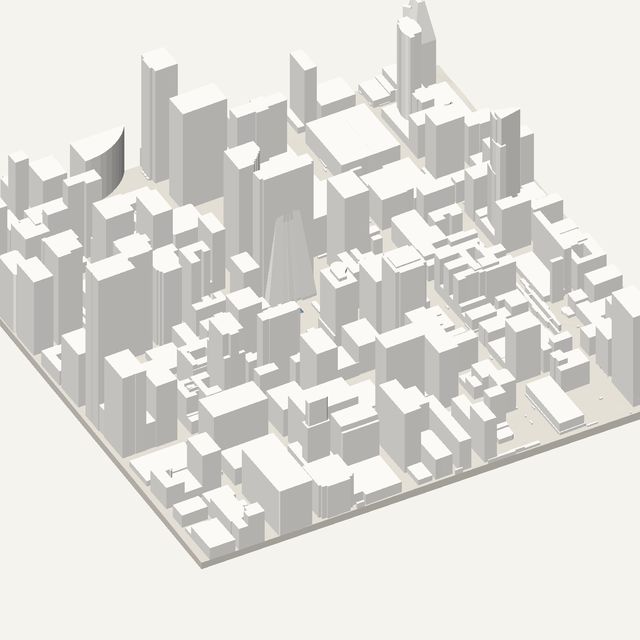
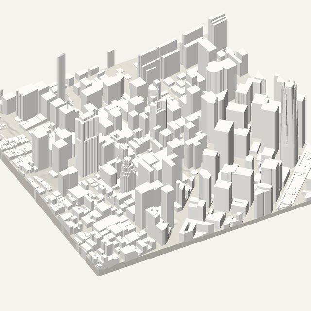
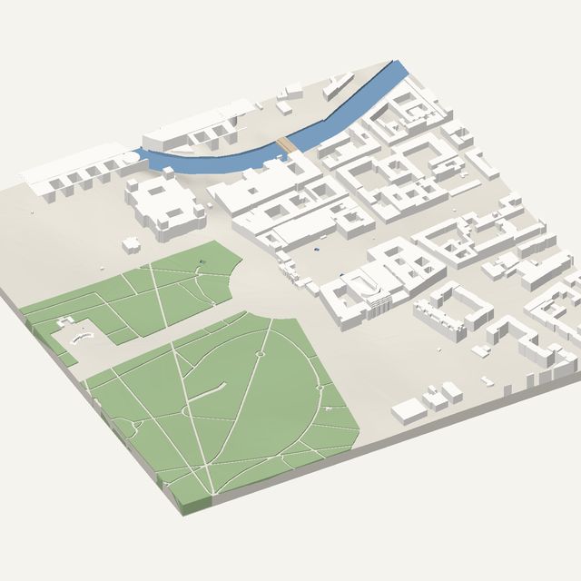
27 cities, each rendered from the model the studio exports. Open one, adjust the frame, and download the STL — or frame any other place.
Heights measured by laser survey
France, Norway, the Netherlands, England, North Rhine-Westphalia and Flanders publish airborne laser surveys. Roof heights and levels here are real.
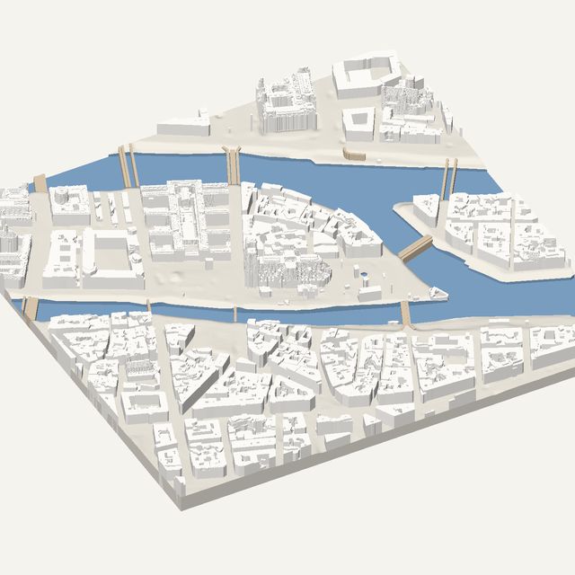
ParisLaser survey
France
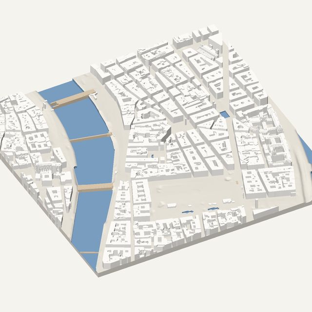
LyonLaser survey
France
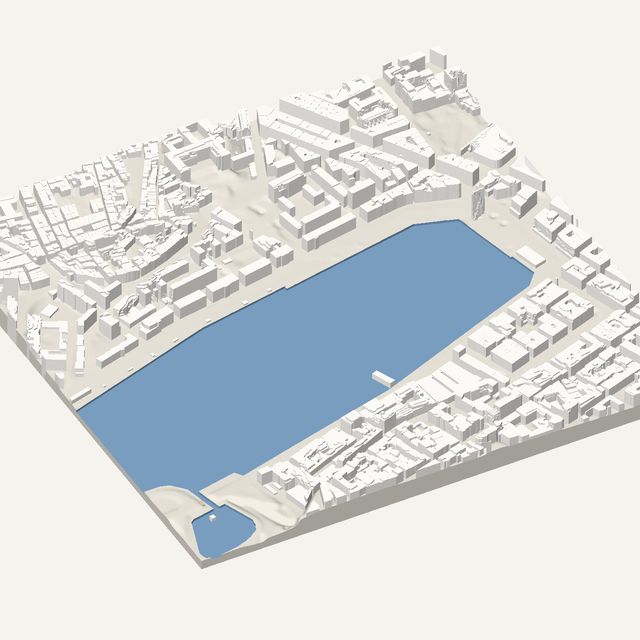
MarseilleLaser survey
France
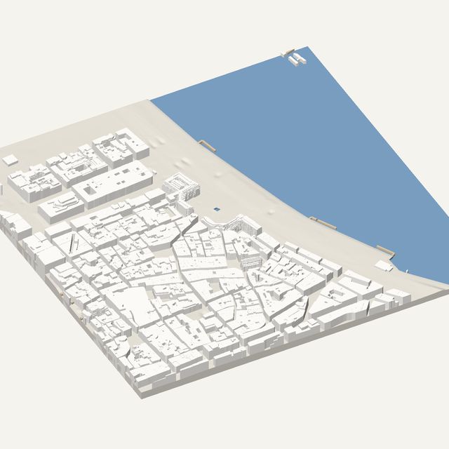
BordeauxLaser survey
France
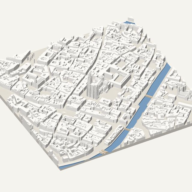
StrasbourgLaser survey
France
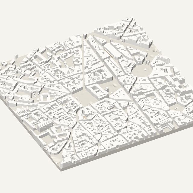
ToulouseLaser survey
France
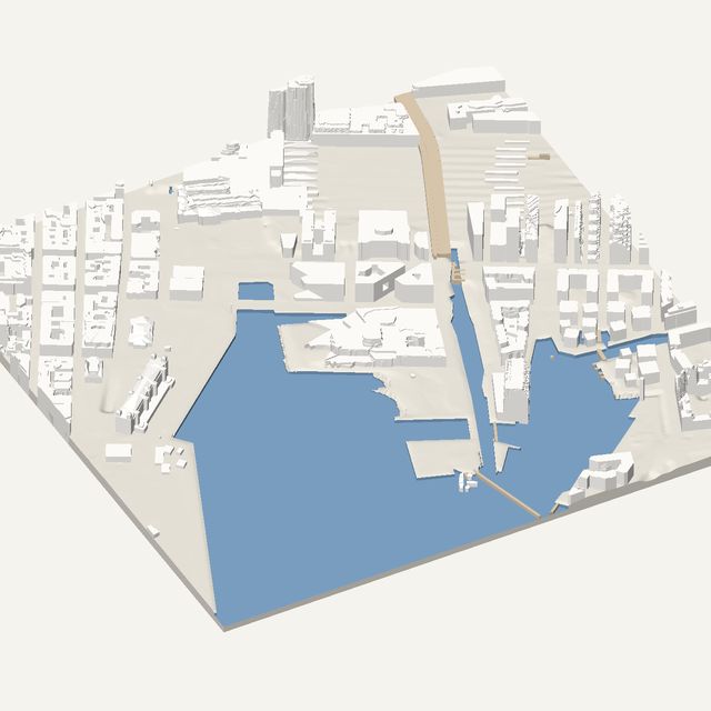
OsloLaser survey
Norway
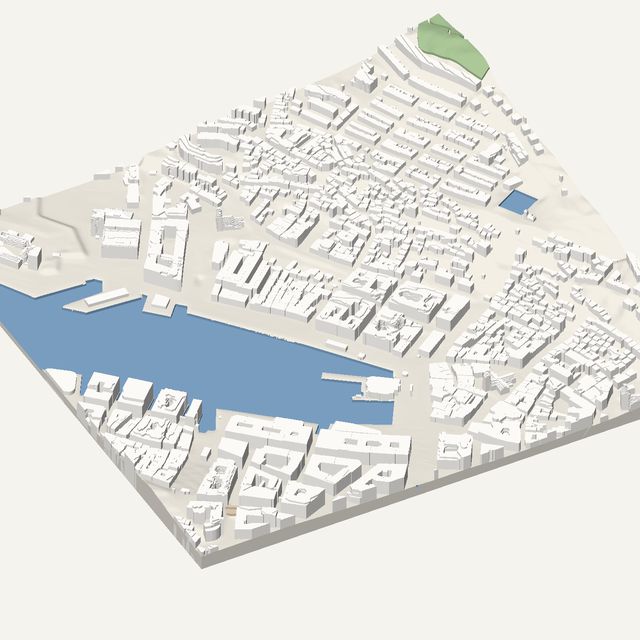
BergenLaser survey
Norway
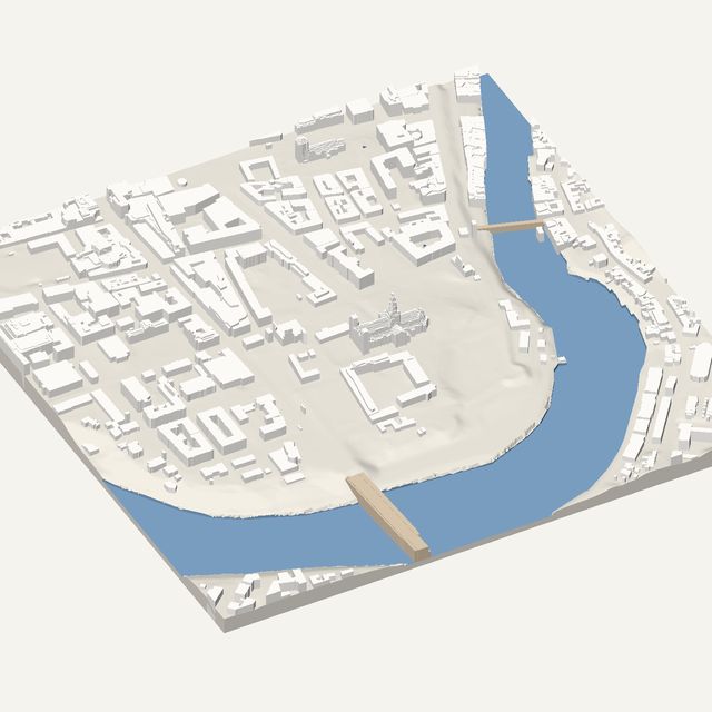
TrondheimLaser survey
Norway
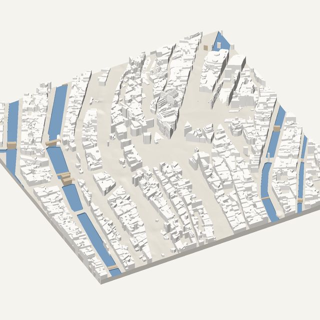
AmsterdamLaser survey
Netherlands
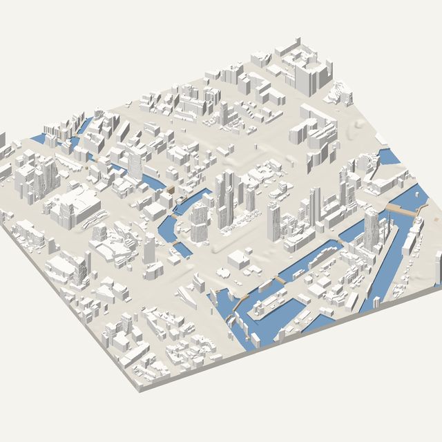
RotterdamLaser survey
Netherlands
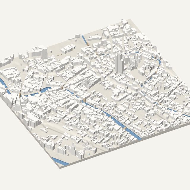
UtrechtLaser survey
Netherlands
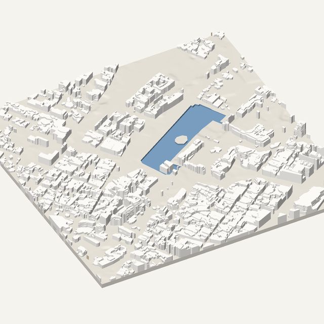
The HagueLaser survey
Netherlands
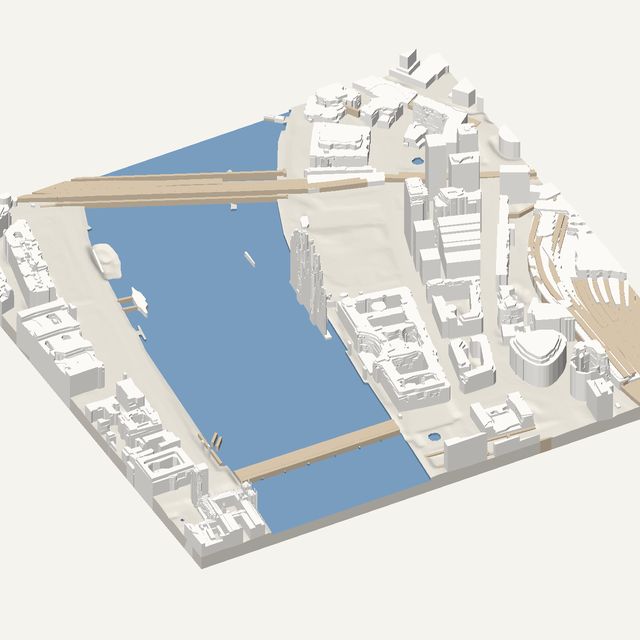
LondonLaser survey
United Kingdom
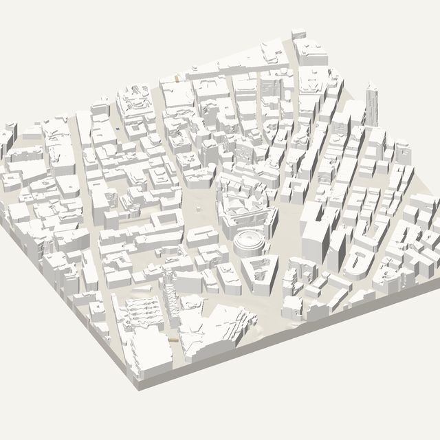
ManchesterLaser survey
United Kingdom
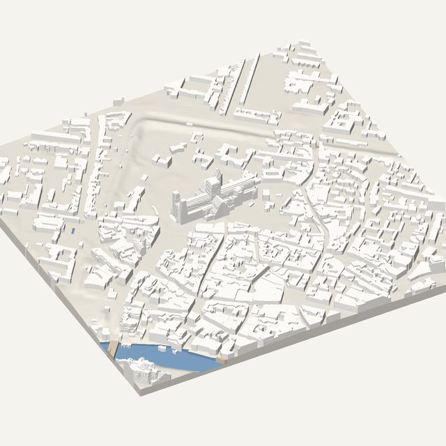
YorkLaser survey
United Kingdom
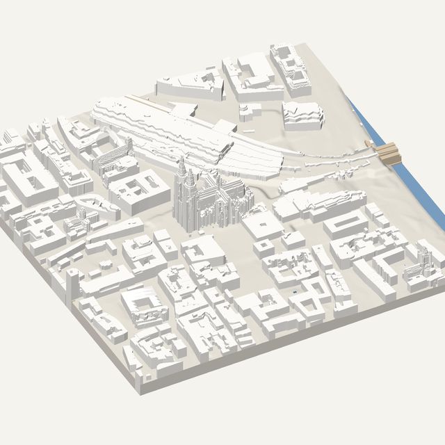
CologneLaser survey
Germany
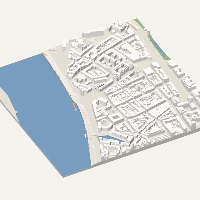
DüsseldorfLaser survey
Germany
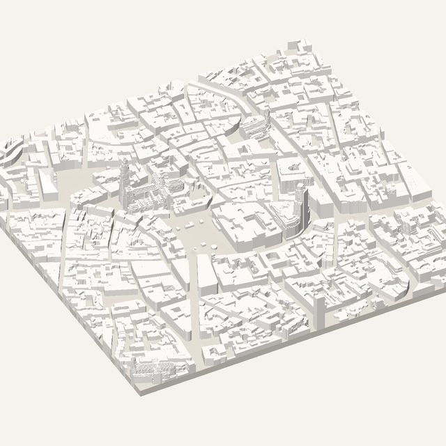
AntwerpLaser survey
Belgium
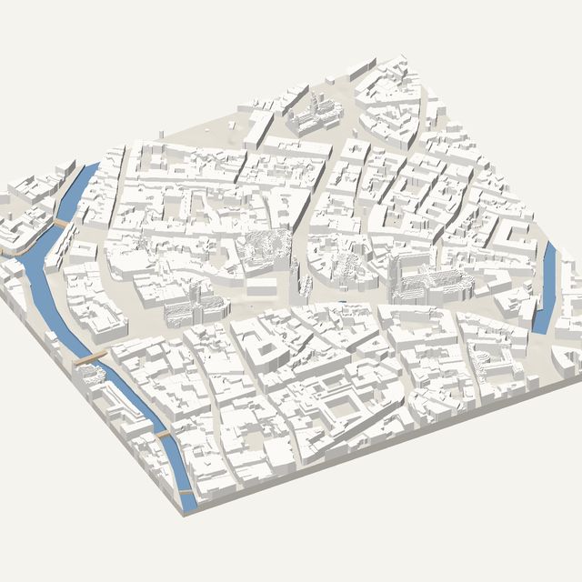
GhentLaser survey
Belgium
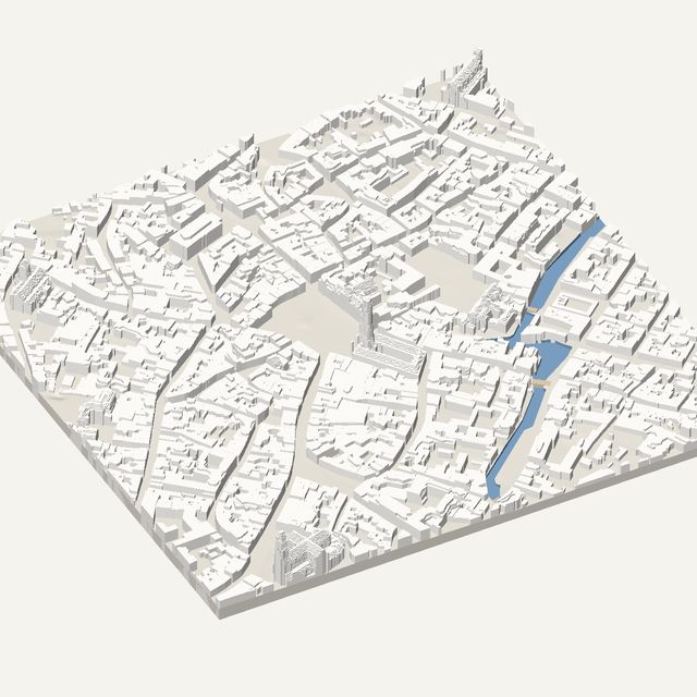
BrugesLaser survey
Belgium
Heights estimated from map data
No open survey here: building heights come from OpenStreetMap, and landmarks use mapped 3D models where they exist.