3D print Toulouse
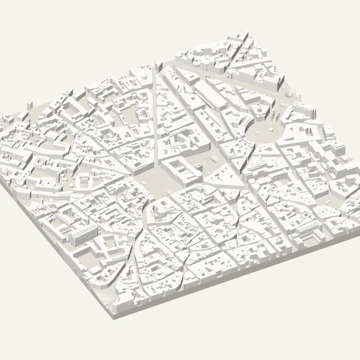
Toulouse is the pink city: brick blocks, a big civic square and a ring of boulevards. Frame Place du Capitole and download a solid STL built from measured IGN LiDAR HD heights.
Free · no account · STL in millimetres
- Heights
- Measured by laser survey
- Source
- IGN LiDAR HD
- Frame
- 800 × 800 m
- At 180 mm
- 1 : 4,444 · 14.2 mm tall
- Buildings
- 1,511
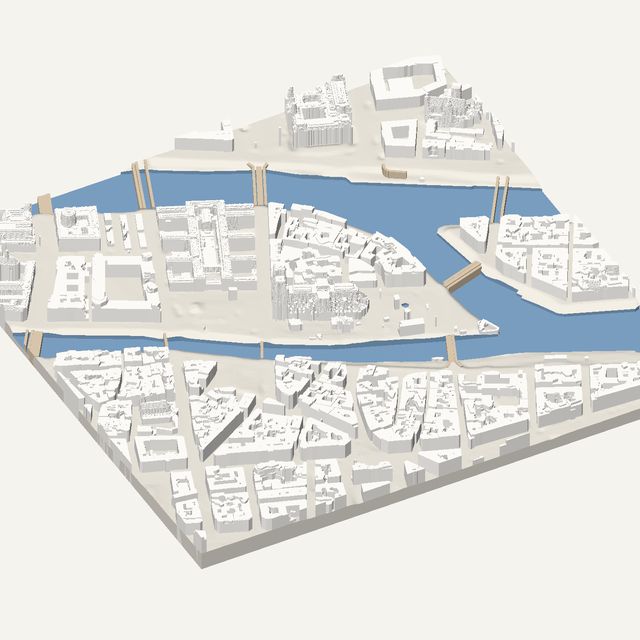
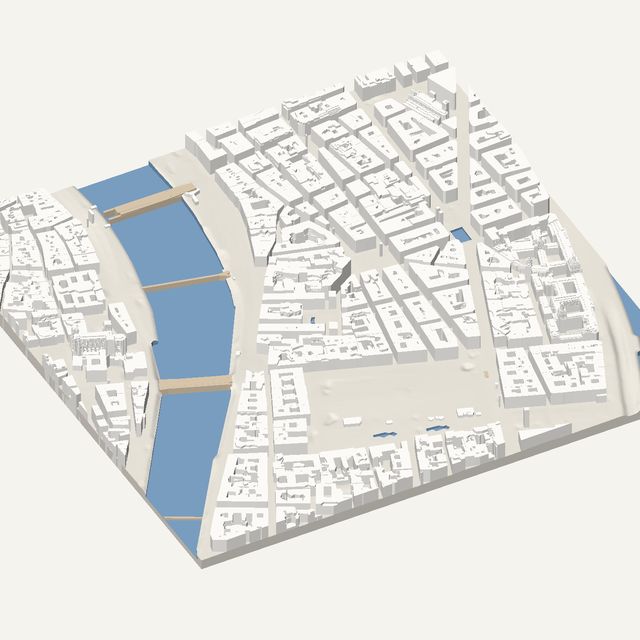
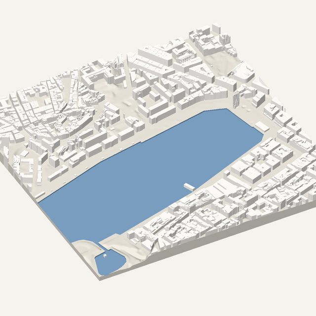
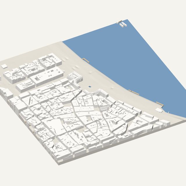
A Toulouse model you can print
Toulouse is built mostly in brick, with low and mid-rise blocks and few high-rises. A printed model shows that evenness clearly, with the main squares standing out as open plates against the surrounding streets. The old centre has an irregular medieval pattern that opens into broad squares and straight boulevards, so the print has a mix of tight and open areas that is interesting to look at from above.
The 800 m frame is centred on Place du Capitole. The Capitole building forms the whole east side of the square, and Place Wilson lies a short walk away to the north-east. Basilique Saint-Sernin, with its tall octagonal tower, stands just beyond the north edge. The Garonne is to the west and the Canal du Midi to the east, both outside this frame by default.
In this frame
- Capitole de Toulouse
- Place du Capitole
- Place Wilson
Printing Toulouse
- Shift the frame about 300 m north if you want Basilique Saint-Sernin fully inside the print.
- Widen the frame toward 1.5 km to bring in the Garonne. You trade building detail for the river shape.
- Leave height exaggeration at 1x or 1.5x. Toulouse is low and flat, so a small boost helps churches stand out.
- Parks layer on adds the green squares and gardens as slightly raised plates with the paths cut through.
Questions
Toulouse, in detail
- Can I include the Garonne in my Toulouse model?
- Yes. The default frame stays in the old centre, but you can draw a larger rectangle that reaches the river. Switch water on and the Garonne is cut below its banks. A wider frame means smaller buildings at the same print size.
- How accurate are Toulouse building heights?
- They come from IGN LiDAR HD, an airborne laser survey of France, so they are measured rather than guessed. The tool simplifies courtyards and setbacks into flat, straight-edged levels, and it samples the tallest buildings in finer detail.