3D print Antwerp
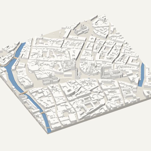
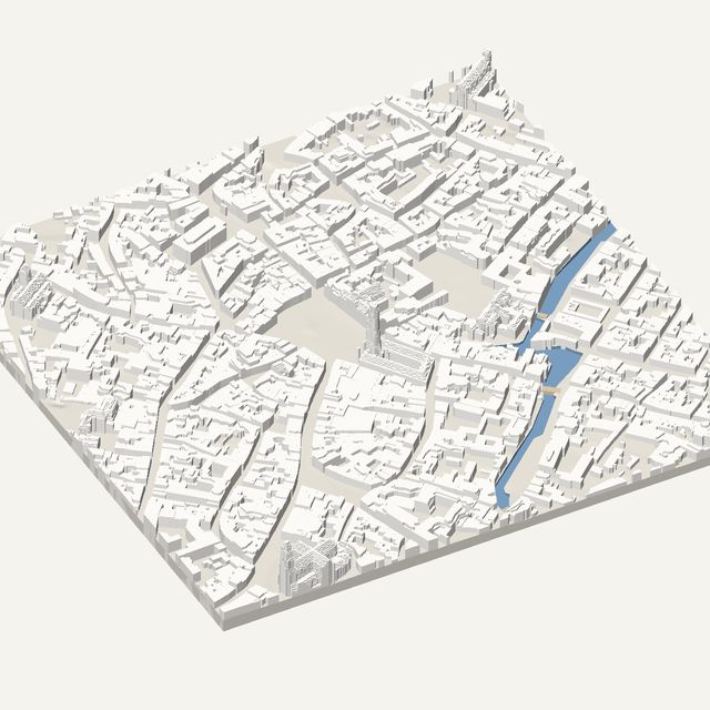
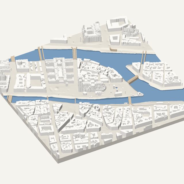
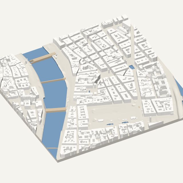
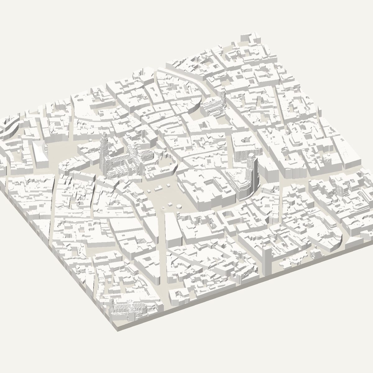
Antwerp's old centre is built around a cathedral and a guild-house square. Frame them to download a solid STL with roof heights measured in the Digitaal Vlaanderen airborne laser survey.
Free · no account · STL in millimetres
- Heights
- Measured by laser survey
- Source
- Digitaal Hoogtemodel Vlaanderen II
- Frame
- 700 × 700 m
- At 180 mm
- 1 : 3,889 · 29.4 mm tall
- Buildings
- 2,028
A Antwerp model you can print
Antwerp is a port city with a compact medieval core, and its centre is easy to take in on a small print. Streets are narrow and irregular, houses are tall and thin, and a single great church rises over them. The Scheldt river to the west provides a wide water edge, and the old centre curves toward it. The result is a dense, detailed model with a clear focal point.
The 700 m frame is centred on the Cathedral of Our Lady and the Grote Markt. The cathedral has one completed tower, taller than the other, and that asymmetry gives the print a distinctive silhouette. The Grote Markt lies next to it, with the City Hall on one side and the Brabo fountain in the middle of the square, surrounded by narrow guild houses.
In this frame
- Cathedral of Our Lady
- Grote Markt
- Antwerp City Hall
- Brabo Fountain
Printing Antwerp
- Print at 200 mm or larger. The cathedral tower is slim, and the lanes around the Grote Markt are narrow.
- Leave height exaggeration at 1x. The cathedral already stands well above the low old town.
- Widen the frame westward if you want the Scheldt quays and the river included.
- Keep trees off in the old centre. The streets are tight, and crown domes can hide the lanes.
Questions
Antwerp, in detail
- Why does the Antwerp cathedral look lopsided?
- Because it is. The cathedral has one finished tower and a second that was never completed. The model follows the surveyed heights, so the asymmetry shows in the print. It makes the church easy to pick out among the surrounding roofs.
- Where does the Antwerp height data come from?
- From Digitaal Vlaanderen, the Flemish government's airborne laser survey of Flanders. Roof and ground heights are measured. The tool turns courtyards and setbacks into flat, straight-edged levels and samples tall buildings in finer detail.